OPERATIONAL
Last updated May 07, 2026 at 13:43 UTC
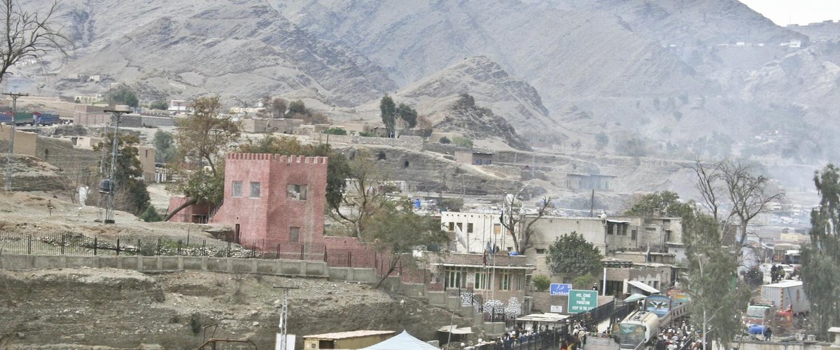
Normal commercial throughput. Episodic closures monitored — Torkham has historically closed for hours to weeks during cross-border tensions.
Photo: Staff Sgt. Ryan Matson, U.S. Armed Forces (public domain) via Wikimedia Commons
Crossing Location
🇵🇰
Pakistan
Landi Kotal (Khyber District)
Border
🇦🇫
Afghanistan
Jalalabad (Nangarhar Province)
The Khyber Pass crossing — the historic gateway between South and Central Asia. Connects Peshawar (Pakistan) to Jalalabad and Kabul (Afghanistan).
Coordinates
34.0958, 71.0853
Elevation
1,070 m / 3,510 ft (Khyber Pass approach)
Operational note: Mountainous terrain; episodic closures during cross-border tensions; trade volumes among highest of any Pakistan-Afghanistan crossing.